 ssssfklsdjfk


Source Water and Vulnerability Assessment Information
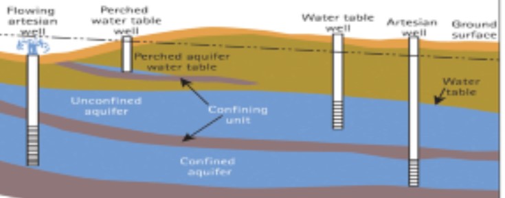
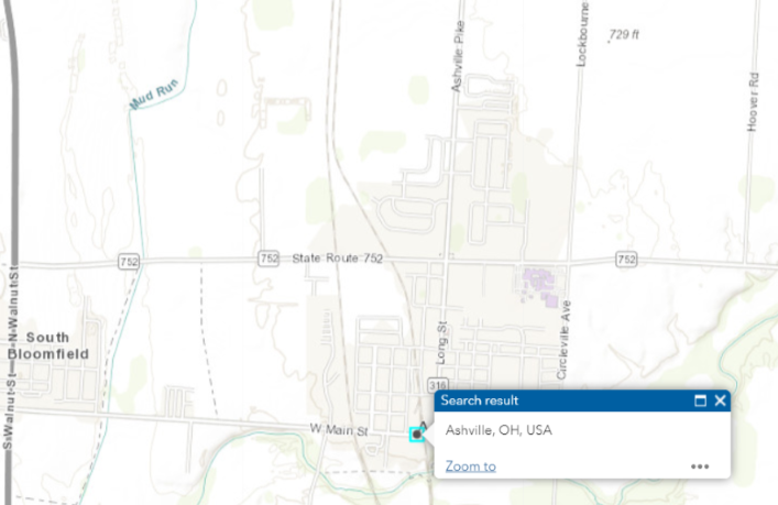
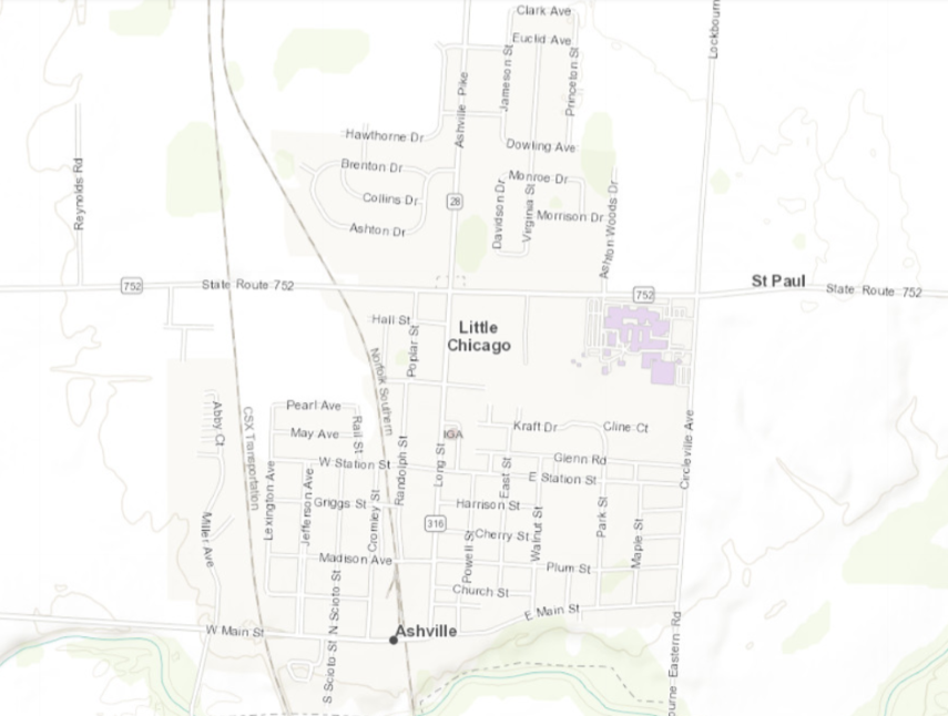
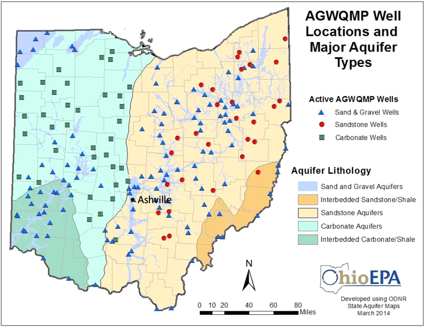
The Village of Ashville’s Water Department receives its drinking water from two (2) wells located at the village-owned and operated facility. A third (3rd) well is located south of the village on Viking Way. These wells obtain raw water from the Teays Valley Aquifer. Aquifers are porous underground formations (such as sand or gravel) that are saturated with water. There are links and information about the Teays Valley Aquifer below. There is also information about the Source Water Assessment and Protection (SWAP). The last item in this section involves graphic display of Water Mains, Water Laterals, Water Taps, Meters, Valves, and Connection Points.
The Ohio Environmental Protection Agency has developed a program called Ohio's Source Water Assessment and Protection (SWAP) which is designed to protect our sources of drinking water. Through this program, the Ohio EPA has endorsed “the Delineation and Potential Contaminant Source Inventory components of the Village of Ashville’s drinking water source protection plan as meeting the requirements of the Ohio Wellhead Protection and Source Water Assessment and Protection Programs”. According to this study, the aquifer (water-rich zone) that supplies water to the Village of Ashville has a high susceptibility to contamination. This determination is based on the following:
- presence of a relatively thin protective layer of clay/shale/other overlying the aquifer,
- shallow depth (less than 50 feet below ground surface) of the uppermost aquifer, and
- presence of significant potential contaminant sources in the protection area.
This susceptibility means that under currently existing conditions, the likelihood of the aquifer becoming contaminated is relatively high. This likelihood can be minimized by implementing appropriate protective measures. More specifically this report identified seven (7) potential significant sources of contamination within the one-year capture zones. They include: (1)sanitary sewer lines, (2,3,4) source wells, (5)natural gas line, (6) Ashville Park, and (7) municipal road maintenance.
The Ohio EPA’s website on Source Water Assessment information is at http://epa.ohio.gov/ddagw/swap.aspx. Another source of more specific information is available by calling James Welsh(email This email address is being protected from spambots. You need JavaScript enabled to view it.) or Franklin Christman (This email address is being protected from spambots. You need JavaScript enabled to view it.) at (740) 983-6367.
More information about the source water assessment or what consumers can do to help protect the aquifer is available by calling Jim Welsh or Franklin Christman at 740-983-6367. The SWAP can be found at http://wwwapp.epa.ohio.gov/gis/swpa/OH6500012.pdf
 |
 |
|
|
Links to information about Ohio Aquifers. Click on the above image or the below addresses. http://epa.ohio.gov/Portals/28/documents/gwqcp/Aquifer&Geochem_ts.pdf https://geosurvey.ohiodnr.gov/portals/geosurvey/PDFs/GeoFacts/gef10.pdf |
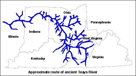
The Teays River network, which existed prior to disruption by glaciers during the Last Ice Age. Reconstruction is based on the discovery of large buried valleys in West Virginia, Ohio and Indiana and other evidence. |
|
|
|
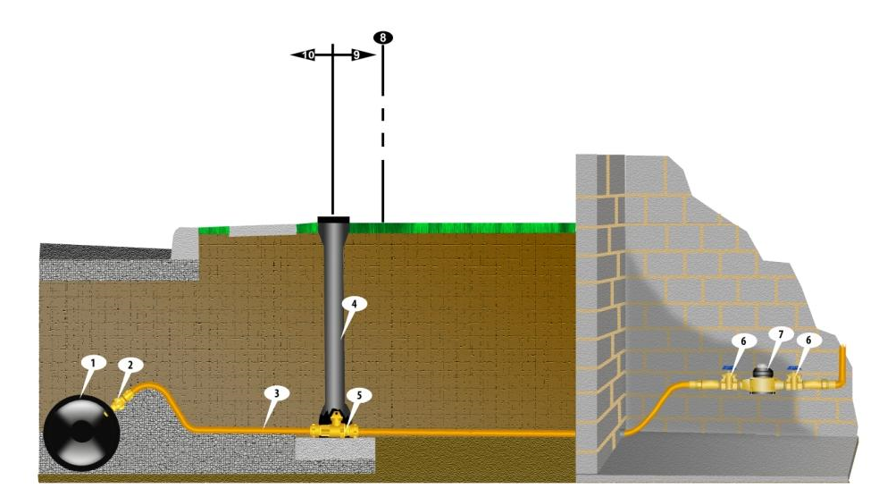
| 1. Water Main 2. Water Tap 3. Water Laterial 4 & 5. Curb Shut Off Valve 6, 7 & 8. Meter Set-up | |